Daintree and Cape Tribulation tours from Cairns
A practical comparison of guided Daintree and Cape Tribulation tours versus self-driving from Cairns, covering the river ferry, Mossman Gorge, water safety, the unsealed roads beyond Cape Trib and whether to stay a night.
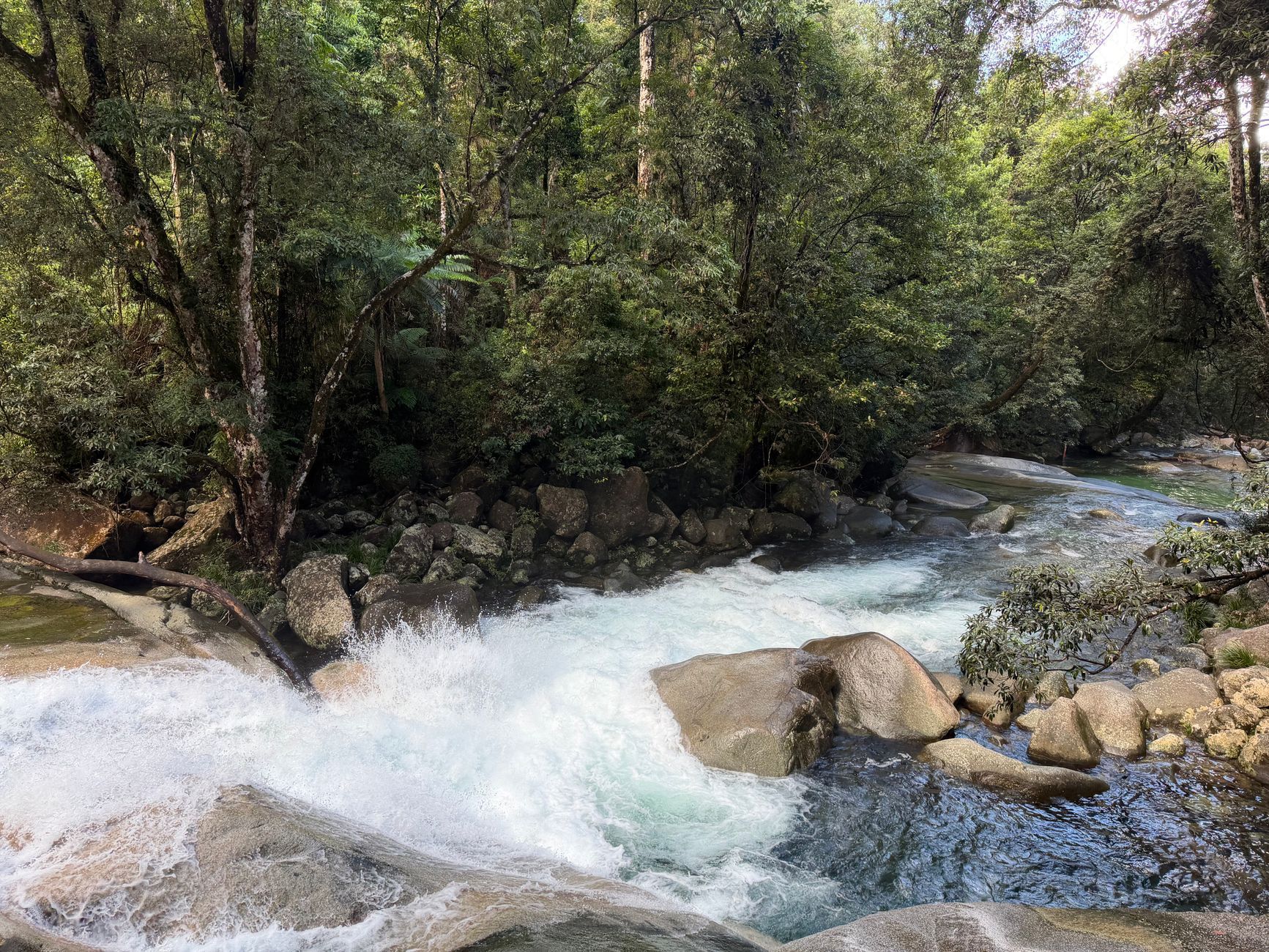
The Daintree and Cape Tribulation sit a couple of hours north of Cairns, in a stretch of far north Queensland where lowland tropical rainforest runs all the way down to the coast. It is one of the few places in Australia where you can walk a rainforest boardwalk in the morning and stand on an empty tropical beach by lunchtime. That combination is why almost every backpacker passing through Cairns considers the trip — and why it needs more planning than a standard day tour.
The central decision is guided tour or self-drive, and neither is automatically better. What tips the balance is your licence and hire car situation, how much driving you want to do in a day, whether you want commentary or your own pace, and how many people you can split costs with. There is also a safety dimension that does not apply to most Cairns day trips: this is estuarine crocodile country, marine stingers are a seasonal factor along the coast, and the roads beyond Cape Tribulation are unsealed and unsuitable for most hire cars.
What the Daintree and Cape Tribulation actually are
"The Daintree" gets used loosely, which makes it hard to know what you are actually booking. The name covers a rainforest region north of Mossman, a river, a village, and a national park with an inland gorge section and a separate coastal section running up past Cape Tribulation. Cape Trib itself is a headland and scattered settlement where the sealed road ends, not a single attraction with a gate and a ticket office. In practice, the trip is a string of stops along one road.
The rainforest here is frequently described as among the oldest continuously surviving tropical lowland rainforest on Earth, and much of it is protected national park within a World Heritage listed area. It is also living Country for the region's Traditional Owners, and some walking experiences here are Indigenous-guided. Many travellers pair the trip with a reef day — the Great Barrier Reef tours from Cairns guide covers that side, and the East Coast backpacker guide helps you work out how many days to give Cairns. Space the two out rather than stacking them back to back; both are long days.
Guided tour or self-drive: how to decide
Start with the practical constraints rather than the price. To drive yourself you need a licence you can legally use in Queensland, a hire booking in your own name, and an agreement that permits the roads you intend to drive — that last point catches people out. If you have no licence, cannot meet a hire company's age or excess requirements, or do not want several hours behind the wheel on an unfamiliar winding road, a guided tour makes the decision for you.
Cost depends almost entirely on group size. Split between two or more people, a hire car plus fuel and the ferry crossing compares reasonably with individual tour seats; on your own it rarely works out cheaper and you also carry all the driving. Run your own numbers with current rates, because vehicle rates, fuel and ferry fares all move. Our transport and car hire guide covers the hire basics worth understanding first.
A guide adds what you cannot get from a car window: which boardwalk is worth stopping for, what you are looking at in the canopy, and where conditions have changed recently. Guides also spot wildlife far better than first-time visitors, and most tours bundle the ferry, a river cruise and a gorge visit so you are not making decisions at every junction. Self-driving buys the opposite — an early start ahead of the buses, two hours on one beach instead of twenty minutes, and the freedom to skip anything that does not interest you.
Your four realistic options, compared
The route north, stop by stop
The first leg follows the Captain Cook Highway, which hugs the coast with rainforest hills on one side and the Coral Sea on the other, past signposted lookouts and pull-offs. It is one of the better coastal drives in the country, and also narrow and winding in places, so it takes longer than a map suggests. Port Douglas sits just off the highway and makes a convenient fuel or coffee stop.
Inland from Mossman, Mossman Gorge is the usual first proper stop and part of the same national park as the coastal Daintree: a river running over enormous granite boulders, with a walking track looping through dense rainforest. Access is managed rather than open — arrangements have involved a visitor centre and shuttle rather than driving in, and Indigenous-guided walks have been offered here. Both change, so check what is currently running and how to book before you turn up.
Further north, the Daintree River is crossed by a cable ferry. There is no bridge, so everyone queues for the same crossing, tour buses included. A fee applies for vehicles and the ferry runs to set hours rather than around the clock, so check the current fare and timetable for your actual travel date. In peak periods the queue adds an unpredictable chunk to your day, and you should not leave your return crossing to the last possible moment.
Across the river the road climbs steeply over the Alexandra Range to a lookout with the classic view over the river mouth and out to sea, then threads through rainforest to Cow Bay, Thornton Beach and Cape Tribulation, with short national park boardwalks signposted along the way. Those boardwalks are the easiest way to actually be in the rainforest, and most take well under an hour. Services thin out sharply north of the river, so sort fuel, food, water and cash before you cross.
River cruises and wildlife spotting
Wildlife cruises on the Daintree River are a highlight of the trip and are often bundled into guided tours: short trips on small, low boats that move slowly along the mangrove edges while a guide points things out. Crocodiles are the headline, but the birds are consistently good, and guides regularly find tree snakes and roosting bats that nobody else on board would notice. Self-drivers can book a cruise separately, with operators based near the crossing and upriver.
Nothing is guaranteed. Crocodile sightings depend on tide, weather, water temperature and luck — a cruise improves your odds considerably, but no operator can promise one. The same goes for cassowaries: road signs warn you they are around, which is a reason to drive slowly rather than a promise of a sighting. Treating both as a bonus rather than the point makes for a better day. More Cairns day trip ideas are collected on the Cairns things to do page.
Water safety: crocodiles and marine stingers
This is the part of the guide to read twice. Estuarine crocodiles — often called saltwater crocodiles — live in the rivers, creeks, estuaries and coastal waters of this region. That is not a remote possibility; it is the normal condition of the waterways you will be standing beside. Do not swim, wade, paddle, clean fish or stand at the water's edge in the Daintree River or in any creek, estuary or channel here, and keep well back on banks and boat ramps.
No beach in the Daintree or Cape Tribulation area should be treated as safe for swimming. The beaches are unpatrolled, crocodiles use coastal waters and creek mouths, and tropical marine stingers including box jellyfish and Irukandji are a risk in the warmer months — the season varies by year and location, so follow current local and Surf Life Saving advice rather than fixed dates. Obey every posted warning sign, and understand that the absence of a sign is not evidence that water is safe.
Freshwater sites further inland are a different risk profile, not a risk-free one. Rain upstream raises water levels fast, rocks are slippery, depths and submerged objects are hard to judge, and sites close for flood damage or safety reasons. Check current Queensland Government crocodile safety advice and Queensland Parks and Wildlife Service alerts, follow the signage on site, and if you are not certain about a spot, stay out of it.
Beyond Cape Tribulation: the Bloomfield Track
North of Cape Tribulation the sealed road stops and the Bloomfield Track begins, running towards Wujal Wujal and eventually Cooktown. It is unsealed, four-wheel-drive only, includes creek crossings and steep sections, and it closes after heavy rain. Standard hire agreements routinely prohibit it outright, recovery is slow and expensive, and reception is patchy at best. If continuing north appeals, join a tour that runs the route with a suitable vehicle, hire a genuine four-wheel drive from a company that permits the track in writing, or take the sealed inland route to Cooktown instead — and check current closures with Queensland Traffic and local sources on the day.
Day trip or overnight?
A day trip is what most backpackers do, and it works: the coastal drive, a gorge, the river crossing, a boardwalk and Cape Tribulation, back in Cairns for dinner. What it costs you is depth: much of the day is spent moving, stops are measured in minutes rather than hours, and you reach the rainforest in the middle of the day, when it is hottest and wildlife is quietest.
Staying a night changes the trip more than you would expect: rainforest at dawn and dusk when it is cooler and far more active, the option of a guided night walk, boardwalks with nobody else on them, and no race for the last ferry. It also breaks up the driving. Either way, plan around limited or absent mobile reception north of the river — download offline maps, tell someone your route and expected return time, and carry water, food and insect repellent.
Wet season and dry season access
Far north Queensland runs on a wet and dry pattern rather than four distinct seasons: wetter, hotter and more humid across the southern summer and early autumn, drier and milder through the middle of the year. These are approximate patterns, not a timetable. In the wet, the rainforest is at its most dramatic and there are fewer people about, but expect heavy downpours, humidity, insects, higher stinger risk on the coast and a real chance of road, track or site closures.
In the drier months the driving is easier, walks are more comfortable and closures are less likely, which is also why it is peak season: longer ferry queues, fuller tours and more need to book ahead. If you are still deciding when to be up here, the best time to visit Australia guide sets out how the tropical north compares with the rest of the east coast. Whichever season you land in, check alerts close to your travel date.